01 / TERRAIN
Procedural + Real-World Terrain
Generate stylized terrain, import or guide from real elevation data, stitch large regions, process heightmaps, and export directly into game-engine workflows.
Explore Terrain →Genadem is a procedural world-generation environment: real-world and procedural terrain, parametric architecture, road and city systems, and a physically-based material engine — rendered by GenRen, our own engine. The scene on the right is GenRen running live in your browser.
Genadem is built around a simple idea: terrain, architecture, roads, cities, and materials are parts of the same world. They should not require separate disconnected workflows.
Generate stylized terrain, import or guide from real elevation data, stitch large regions, process heightmaps, and export directly into game-engine workflows.
Explore Terrain →Create architecture from procedural systems rather than static kits: facade logic, roof systems, zones, props, city-specific styles, and reusable building rules.
Explore Architecture →Generate roads, intersections, sidewalks, district logic, props, and building populations inside the same environment as the terrain they sit on.
Explore City Systems →Build, inspect, and preview physically-based materials with the same toolchain used by generated terrain and architecture.
Explore Materials →Terrain Studio gives anyone a useful entry point. Genadem Desktop is where the full procedural environment lives: terrain, buildings, roads, cities, materials, generators, editing tools, and the renderer that ties them together.
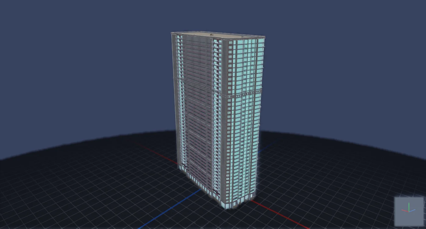
City-specific styles, facade logic, procedural props, roof systems, setbacks, zones, and export-ready geometry.
Procedural styles, real-world references, erosion, multi-resolution workflows, terrain editing, and engine-ready export.
Road networks, sidewalks, intersections, props, district rules, and architecture population on generated terrain.
Integrated PBR rendering for generated assets, materials, inspection, and final presentation.
GenRen is the rendering engine inside Genadem Desktop. GenRen Web is its WebGL2 sibling — not an approximation, a port. The hero scene above, the Terrain Studio preview, and the Material Lab below all run on it, live in your browser.
Cook-Torrance PBR, HDRI image-based lighting, and PCF sun shadows — the desktop shaders ported line-for-line, same BRDF, same tonemap constants.
ACES / AgX / Reinhard tonemapping, Karis bloom, half-res SSAO, and FXAA — the same post pipeline the desktop renderer runs, in your browser.
Procedural PBR material packs baked straight from the GenRen desktop engine — with Heitz-Neyret stochastic de-tiling and parallax occlusion — plus in-shader age, wetness, damage, moss, and dust. One surface goes brand-new to twenty-years-old by parameters alone.
GLB / glTF / OBJ / STL parsers written in-house, full PBR texture sets with the glTF packed-MR convention, triplanar projection, and detail normals.
Over a million triangles rendered in under a millisecond on desktop-class GPUs — headroom to spare for full terrain and city scenes.
No three.js, no frameworks, zero runtime dependencies. The entire renderer ships in about 21 KB gzipped — raw WebGL2 and math we own.
*Measured on an RTX 5090 with forced-sync frames; your mileage scales with your GPU.
Select anywhere on Earth, capture elevation data, preview the result in real-time 3D, and export game-ready heightmaps or meshes. No desktop install required.
GenRen's renderer, live in your browser: Cook-Torrance shading, real HDRI image-based lighting, and the full procedural weathering stack. Browse the material-engine packs — procedural PBR sets baked straight from the desktop engine, with stochastic de-tiling and parallax occlusion — or pick a preset, age the surface, move the sun, switch shapes, and drop your own texture maps onto the slots.
Whether you need a quick in-browser terrain heightmap or a full procedural urban environment, Genadem has you covered.
Learn why standard heightmap imports look stretched or vertically distorted — and how Genadem provides mathematically exact landscape scales.
Capture your area using the Heightmapper above and download the raw Little-Endian .r16 file. 16-bit precision ensures 65,536 vertical altitude steps with zero stair-stepping terracing.
Select Import from File in the Unreal Engine 5 Landscape tab and point to your downloaded .r16 heightmap.
Paste the generated Scale X, Scale Y, and Scale Z values into the Landscape transform. Click Import for a 1:1 real-world elevation landscape!
Use the web tools for free. Download the desktop application when you want the full generation stack.